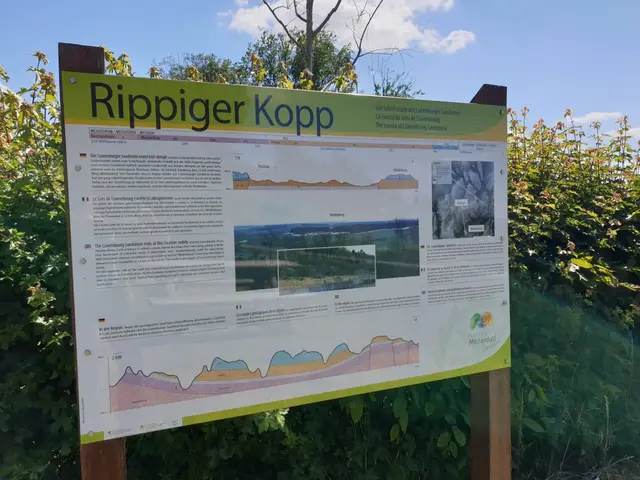
This geosite is right on the way - a parking lot on the E29 marks the point slightly below the Rippeger Kopp, a hill overlooking the wide marl landscape in the south of the Mullerthal region. The clayey marlstone from…
Read more
This geosite is right on the way - a parking lot on the E29 marks the point slightly below the Rippeger Kopp, a hill overlooking the wide marl landscape in the south of the Mullerthal region. The clayey marlstone from the time of Keuper between 235 and 200 million years ago is the pedestal former of the cuesta landscape. A pedestal former is a "softer", less ablation resistant rock, often lying under a "harder". The Rippeger Kopp is located on the edge of the southern stratum of the Luxembourgish Sandstone from the time of the Lower Lias 199 to 175 million years ago. The Luxembourgish Sandstone is called step former here because it is resistant to erosion, lies on top and is thus visible.
- N 11 L-6240 Bech
- Website