Fastest
16:1116:48
37 min · 2 changes · Free in 2nd class
HamiliusTétange, Gare
Walk about 1 min to Hamilius-Centre (Tram)
Change · 23 h 59 min wait
16:11
T1towards Bonnevoie, Lycée Bouneweg (Tram)
6 min ride
16:17
Walk about 1 min to Luxembourg, Gare Centrale
3 min
On track · 3 min to change
1 min walk to Luxembourg, Gare Centrale for the RE.
Change · 2 min wait
16:20
REtowards Rodange, Gare
18 min ride
16:38
Change · 5 min wait
16:43
RBtowards Rumelange, Gare
5 min ride
16:48
Near Tétange

The Minett Trail is a 90-kilometer-long hiking route crossing the Minett region. In ten stages, you can experience smaller and larger towns as well as eight nature reserves. These impress with old forests and former…

Read more

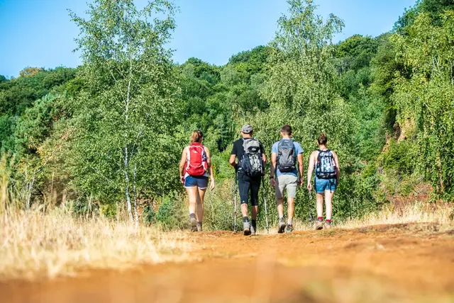
The Minett Trail is a 90-kilometer-long hiking route crossing the Minett region. In ten stages, you can experience smaller and larger towns as well as eight nature reserves. These impress with old forests and former open-cast mining areas. They are unique in Luxembourg due to the steep rock walls, red soil, and mine entrances. On this section, you will walk through the "Leiffrächen" nature reserve and the hollowed-out area around the border town of Rumelange. Close to the French border, you are here in the middle of the mining area and can see how much nature has changed due to mining and the necessary infrastructure. The route passes by the "Monument National des Mineurs" in Kayl, which commemorates miners who lost their lives at work. On the "Leiffrächen," named after the pilgrimage site and chapel beside the path—the patron saint of miners—you will find the characteristically red soil typical of the region. The path takes you past the Mining Museum in Rumelange, where on your rest day from hiking you can join a guided tour underground. WARNING : Unfortunately, this stage of the Minett Trail is regularly subject to vandalism. We recommend downloading the GPX data before the hike, as markings are often damaged or removed.

  • L-3774 Kayl

The southern region of the country hosts a fascinating mining heritage. Today, the former open-pit mining areas have mostly returned to wilderness and offer a landscape of rare beauty. Here you will find two routes…

Read more

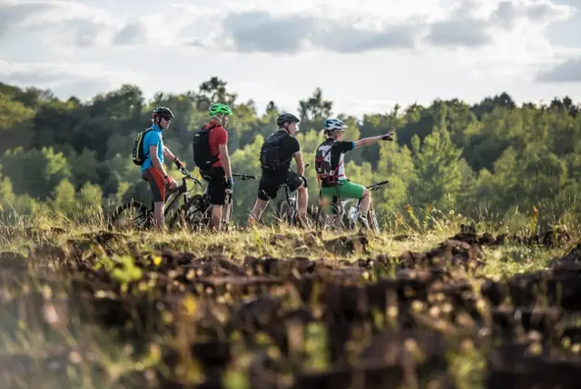
The southern region of the country hosts a fascinating mining heritage. Today, the former open-pit mining areas have mostly returned to wilderness and offer a landscape of rare beauty. Here you will find two routes specially designed for mountain bikers and nature lovers. The Haard Black Route is the more demanding of the two routes. This route features more frequent obstacles, rocky terrain, and steep descents. An excellent path for those who want to test and improve their skills.

The FERRUM Museum in Kayl/Tétange traces the history of the city from the Stone Age to the present, highlighting the local industries of the 19th and 20th centuries.

Read more

The FERRUM Museum in Kayl/Tétange traces the history of the city from the Stone Age to the present, highlighting the local industries of the 19th and 20th centuries. The exhibition presents the production of mountain lamps known as "Karbidsluuchten", Luxembourg mining wagons ("Buggies") and of course shoes. The museum is located right next to the Schungfabrik cultural center and is dedicated to the important role of miners and the labor movement that shaped the region's culture. In addition, the museum has a temporary exhibition space that shows annual presentations from the MUAR – Museum of Work (muar.lu), artworks by Emile Kirscht and more. A dedicated area for school children offers regular workshops that encourage creative learning about local history and the art world.

  • 14 Rue Pierre Schiltz L-3786 Tetange
  • Run by Musée Ferrum
  • Website
Data: Administration des transports publics and Luxembourg for Tourism, CC BY 4.0