Public transport

Getting to Consdorf by public transport

Consdorf has 7 stops, served by 12 bus lines.

Direct lines run to Echternach, Junglinster, Limpertsberg, Larochette, Osweiler, Berdorf, Bollendorf-Pont, and Scheidgen.

Buses, the tram and trains are free within Luxembourg; only 1st class on trains needs a ticket.

Within a short walk of its stops: Local cycling path "Rock route", Auto-Pédestre hiking trail Consdorf - Müllerthal, and Nature trail "Joffer Margot".

Plan a journey to Consdorf
Places to see in Consdorf

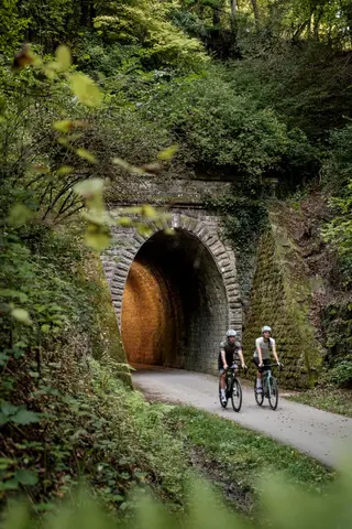
This cycling circuit primarily runs along secondary roads and dirt tracks with little traffic. The route overlaps with the Echternach-Luxembourg bicycle path (PC2) on very beautiful sections.

Read more

This cycling circuit primarily runs along secondary roads and dirt tracks with little traffic. The route overlaps with the Echternach-Luxembourg bicycle path (PC2) on very beautiful sections. Points of interest: ancient oak "Bildchen" and village chapel "St. Margaretha" near Hersberg, flying bomb memorial in Consdorf, pristine landscapes as far as the eye can see, shady gorges, and narrow canyons.

  • B.P. 152 L-6402 Echternach
  • Run by Office Régional du Tourisme Région Mullerthal - Petite Suisse Luxembourgeoise
  • Website

A possible start and end point of the route is Heringer Millen in the town of Müllerthal, which was once one of the most important mills in the region. It now houses a restaurant and a tourist center. An alternative…

Read more

A possible start and end point of the route is Heringer Millen in the town of Müllerthal, which was once one of the most important mills in the region. It now houses a restaurant and a tourist center. An alternative start and end point is the Konsdrefer Millen. There is also a place to eat at the local brewery there. Goldkaul, Goldfralaee, Eilebuerg as well as Schelmelee and Ramelee are the names of some rocks that this route passes by. The peculiar names often originate from myths and legends. Due to weathering processes, the sandstone cliffs sometimes look like bizarre figures or faces. The Schiessentümpel is a picturesque waterfall on the Schwarze Ernz and is located directly on the path. With its idyllic stone and wood bridge, surrounding rocks, and lush vegetation, Schiessentümpel has become one of the most popular excursion destinations in the Müllerthal region – Little Luxembourg Switzerland.

On this nature trail in Consdorf, the owl shows you the way through the region's natural heritage. The information boards at the various stations point to the rich biodiversity of the region. The route has different…

Read more

On this nature trail in Consdorf, the owl shows you the way through the region's natural heritage. The information boards at the various stations point to the rich biodiversity of the region. The route has different lengths. A flyer about the route is available at the Tourist Info.

  • Parking Konsdrefer Millen L-6245 Consdorf
  • Website

In a small area, highlights follow one after another here: massive rock blocks such as the Päerdskapp (Horse's Head), curious erosion shapes, and gaping rock crevices like the Schelmelee - a former dwelling - impress on…

Read more

In a small area, highlights follow one after another here: massive rock blocks such as the Päerdskapp (Horse's Head), curious erosion shapes, and gaping rock crevices like the Schelmelee - a former dwelling - impress on this hiking trail with their astonishing variety and appearance. Due to narrow passages and rocky ground, this trail is one of the more challenging hiking trails in Consdorf and leads exclusively through the forest. At the end of your walk, pop into the Konsdreffer Millen and sample the locally brewed “Echternach Beer”. It’s the perfect way to round off your walk with a taste of the Mullerthal Region – Luxembourg’s Little Switzerland.

Closest bus stop: Consdorf, Schoul (500m)

Read more

Closest bus stop: Consdorf, Schoul (500m) Closest parking lot: on site

  • 33 Rue Burgkapp L-6211 Consdorf
Data: Administration des transports publics and Luxembourg for Tourism, CC BY 4.0