Departures · Echternach

Echternach, Route d'Osweiler

Timing · Late evening: the last departure from here tonight is line 273 to Echternach, Gare Centre at 00:09.
Timetable times · no live data right now
  1. 274
    Echternach, Gare Centre
    23:49·Scheduled
    7 min
  2. 273
    Echternach, Gare Centre
    00:09·Scheduled
    27 min

Live times from mobiliteit.lu, refreshed every 30 seconds.

Near Echternach

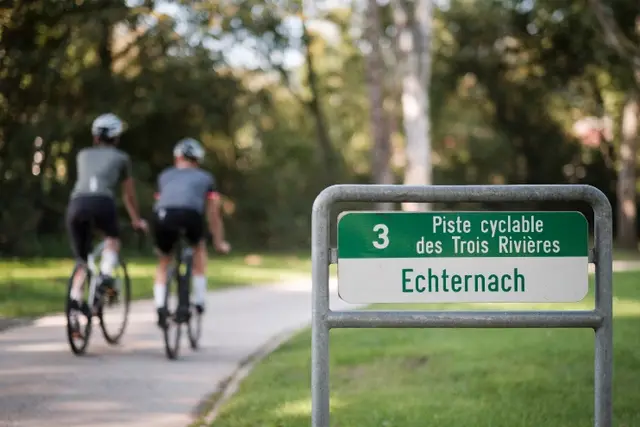
Starting at the lowest point in Luxembourg, the "Spatz" in Wasserbillig, this route runs along both banks of the Sauer through picturesque villages and vineyards in Germany and Luxembourg to the abbey town of…

Read more

Starting at the lowest point in Luxembourg, the "Spatz" in Wasserbillig, this route runs along both banks of the Sauer through picturesque villages and vineyards in Germany and Luxembourg to the abbey town of Echternach. A short shaded section of the route runs "elevated" through a valuable wetland. You pass through an old railway tunnel and over modern bridges. Points of interest: hermit's chapel "Girsterklaus", mineral springs and reservoir (swimming opportunity) of Rosport, Echternach (city walls, basilica, Benedictine abbey), Bollendorf castle.

  • L-6460 Echternach
  • Run by Grenzenlos Radeln - Nebenroute Natur Sauertalradweg

Until the last ice age about 25,000 years ago, the Sûre flowed in a large arc, a meander, around the hill called Thoull. The Sûre dug deeper and deeper into the rock, and at some point there was a breakthrough of the…

Read more

Until the last ice age about 25,000 years ago, the Sûre flowed in a large arc, a meander, around the hill called Thoull. The Sûre dug deeper and deeper into the rock, and at some point there was a breakthrough of the meander at its narrowest point, the neck. As a result, the Sûre shortened its course, the former river loop silted up. Dolomite forms the underground in the west of the Thoull, the valley is particularly narrow here. In the east, the faster-weathering marl prevails, a mixture of clay minerals and lime or dolomite. The valley is much wider here. On the Thoull river terraces are formed, which are recognizable by the round gravel. That shows that the Sûre was once on a much higher level and has cut in the rock in the underground. From Roman times until the 20th century, the mineral spring "Kefferbur" has been used in the southwest of Thoull. Its sulphurous water is said to promote good health. The different geological layers were also used to extract building blocks. The Thoull can be hiked via the 6.3 km long local circular route E5, which also runs along the lake of Echternach. Parking is possible by the lake.

  • Rue du Gibraltar L-6441 Echternach
  • Website
Data: Administration des transports publics and Luxembourg for Tourism, CC BY 4.0