Departures · Haller

Haller, Beim Basseng

Live · updated 06:47
  1. E44
    Limpertsberg, L.T.C.
    06:4806:50·2 min late
    2 min
  2. K06
    Ettelbruck, LTEtt Gare routière
    07:00·On time
    13 min
  3. 222
    Beaufort, Härewiss
    07:0107:02·1 min late
    14 min
  4. 241
    Diekirch, Gare routière
    07:07·On time
    19 min
  5. 222
    Kirchberg, Gare routière Luxexpo
    07:13·On time
    25 min
  6. B05
    Echternach, Lycée
    07:14·Scheduled
    26 min
  7. C17
    Junglinster, Lënster Lycée
    07:18·Scheduled
    30 min
  8. 241
    Freckeisen, Freckeisen
    07:20·Scheduled
    33 min
  9. H03
    Mersch, Gare routière
    07:25·On time
    37 min
  10. 232
    Haller, Schoul
    07:27·On time
    39 min
  11. C07
    Junglinster, Lënster Lycée
    07:27·On time
    40 min
  12. 232
    Mersch, Gare routière
    07:40·On time
    53 min
  13. 222
    Kirchberg, Gare routière Luxexpo
    07:43·On time
    55 min
  14. 222
    Beaufort, Härewiss
    08:03·On time
    08:03
  15. 241
    Diekirch, Gare routière
    08:07·Scheduled
    08:07
  16. 222
    Kirchberg, Gare routière Luxexpo
    08:13·Scheduled
    08:13

Live times from mobiliteit.lu, refreshed every 30 seconds.

Near Haller

From the parking lot on the edge of Haller, this 10 km long hiking trail first leads on a long descent through meadows and forests into the Schwarze Ernz valley. With a bit of luck, you will see the famous Black Angus…

Read more

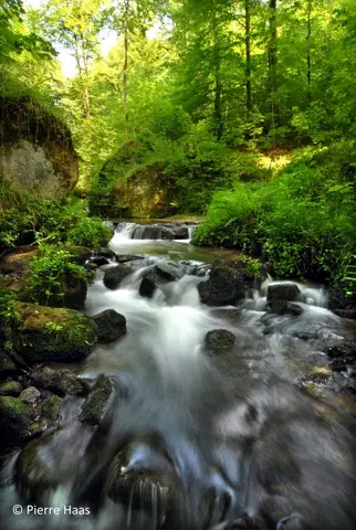
From the parking lot on the edge of Haller, this 10 km long hiking trail first leads on a long descent through meadows and forests into the Schwarze Ernz valley. With a bit of luck, you will see the famous Black Angus cattle along the way, which are highly valued by meat lovers far beyond the region’s borders. Through the beautiful valley of the Halerbaach with its impressive rocks along the stream, you finally return to the starting point.

This 6.8 km long hiking route mainly runs over paved paths and is therefore one of the few hiking routes in the region suitable also for strollers (but not for wheelchairs!). The route along extensive fields and forest…

Read more

This 6.8 km long hiking route mainly runs over paved paths and is therefore one of the few hiking routes in the region suitable also for strollers (but not for wheelchairs!). The route along extensive fields and forest edges with wide views over the plateau between Waldbillig and Haller invites especially to go hiking in good weather. The route takes you past the vending machine Akerblumm, which sells regional produce directly from the producer, 24 hours a day.

At the edge of the picturesque village of Haller begins this beautiful 5.8 km hike. On easy paths, this hike offers a mix of rocks and meadows. Initially, the trail winds through the wild-romantic Hallerbach valley past…

Read more

At the edge of the picturesque village of Haller begins this beautiful 5.8 km hike. On easy paths, this hike offers a mix of rocks and meadows. Initially, the trail winds through the wild-romantic Hallerbach valley past the former mill and repeatedly passes impressive rock formations such as the "Ellerlee." The return route leads through fields and meadows and then back through the village center to the starting point. The route is also suitable for families, but not stroller-friendly.

Data: Administration des transports publics and Luxembourg for Tourism, CC BY 4.0