Departures · Niederkorn

Niederkorn, Mathendahl

Right now · Delays right now on lines 609 (+13 min), 1 (+5 min).
Live · updated 12:28
  1. 1
    Esch-sur-Alzette, Gare routière
    12:4212:47·5 min late
    18 min
  2. 608
    Luxembourg/Centre, Monterey
    12:50·On time
    21 min
  3. 1
    Esch-sur-Alzette, Gare routière
    12:57·On time
    28 min
  4. 1
    Esch-sur-Alzette, Gare routière
    13:1213:13·1 min late
    44 min
  5. 608
    Luxembourg/Centre, Monterey
    13:20·On time
    51 min
  6. 1
    Esch-sur-Alzette, Gare routière
    13:27·On time
    58 min
  7. 1
    Esch-sur-Alzette, Gare routière
    13:42·On time
    13:42
  8. 608
    Luxembourg/Centre, Monterey
    13:50·Scheduled
    13:50
  9. 1
    Esch-sur-Alzette, Gare routière
    13:57·Scheduled
    13:57

Live times from mobiliteit.lu, refreshed every 30 seconds.

Near Niederkorn

Short route with a few not too strenuous climbs. In the first part, the path leads through residential and industrial areas. The further route of the hike follows various cycle paths, mainly the PC6 Piste cyclable des…

Read more

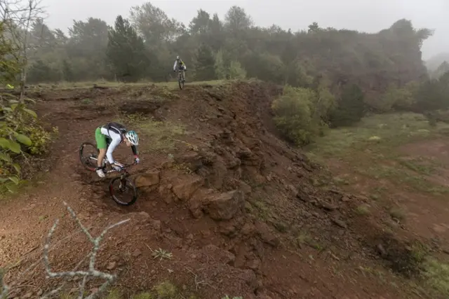
Short route with a few not too strenuous climbs. In the first part, the path leads through residential and industrial areas. The further route of the hike follows various cycle paths, mainly the PC6 Piste cyclable des Trois Cantons, which finally passes through a pleasant forest section. This route can be combined with the CFL hiking paths 28, Oberkorn - Niederkorn (8.9 km) and 29, Niederkorn - Rodange (12 km). The route can also be cycled (mountain bike) if desired. However, caution is advised during the first kilometre (road traffic!).

  • Rue de la Continentale L-4917 Bascharage
  • Run by 31 Bahnhof zu Bahnhof Niederkorn - Bascharage-Sanem
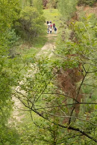
On the geological route "Giele Botter" you will learn more about the history of ore mining and deposits in the "Giele Botter" open-pit mining area. The 2.5-kilometer-long hiking trail focuses on old mine entrances,…

Read more

On the geological route "Giele Botter" you will learn more about the history of ore mining and deposits in the "Giele Botter" open-pit mining area. The 2.5-kilometer-long hiking trail focuses on old mine entrances, open-pit mining in general, and fossils uncovered during work. The path leads through today's nature reserve "Prënzebierg - Giele Botter".

  • L-4678 Niederkorn
  • Run by Geologischer Rundgang „Giele Botter"
  • Website

The path first climbs up to the heights west of Differdange. The route runs over part of the national hiking trail Sentier des Mineurs, which meanders through former ore mining areas, in this case the Giele Botter with…

Read more

The path first climbs up to the heights west of Differdange. The route runs over part of the national hiking trail Sentier des Mineurs, which meanders through former ore mining areas, in this case the Giele Botter with its special biotopes. The latter itself belongs to the Prënzebierg nature reserve, which this hike also leads to. After passing through residential areas belonging to Lamadelaine, the route ends at Rodange station. © Editions Guy Binsfeld

  • 22 Rue des Trevires L-4602 Niederkorn
  • Run by 29 Bahnhof zu Bahnhof Niederkorn - Rodange

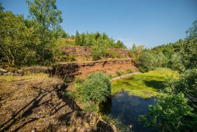
Here at the "Giele Botter," part of the Prënzebierg-Giele Botter nature reserve between Pétange and Differdange, you can see several steep walls of the former open-cast mine stacked one above the other. The deep red of…

Read more

Here at the "Giele Botter," part of the Prënzebierg-Giele Botter nature reserve between Pétange and Differdange, you can see several steep walls of the former open-cast mine stacked one above the other. The deep red of the ore-rich soil contrasts beautifully with the green of the surrounding nature and the other colors emanating from the unusual flowers found here—orchids, poppies, dry grasslands...

  • L-4011 Esch-sur-Alzette
  • Run by Visit Minett
Data: Administration des transports publics and Luxembourg for Tourism, CC BY 4.0